
Why It Matters
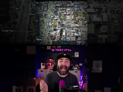
This development represents the collapse of the "security through obscurity" model for physical infrastructure. When high-fidelity geospatial intelligence is effectively commoditized by open-source tools, the threshold for monitoring sensitive areas or tracking logistics drops to zero. This signifies a fundamental shift in the social contract regarding public privacy.
Strategic Implications
Organizations can no longer assume that their physical footprint—or the location of their security hardware—remains hidden. As these AI-driven aggregators mature, "stealth" becomes impossible. Strategically, this necessitates a move toward obfuscation or the realization that public space is now permanently monitored by non-state actors.
Evidence & Hype Audit
This content should be treated as promotional. While the tool appears functional, the speaker provides no verification of the data sources. The assertion that this capability was previously restricted to specific companies is a narrative hook rather than a documented historical fact.
Counterarguments
One could argue that open-sourcing these tools actually aids public safety by exposing opaque surveillance networks, allowing citizens to hold local authorities accountable for the density of tracking devices. Increased transparency could serve as a check on government overreach.
Role-Specific Takeaways
- Security Professionals: Audit the visibility of your assets against open-source tools; assume you are visible.
- Policymakers: Prepare for a reality where public privacy, as traditionally understood, has been rendered obsolete by open-source data availability.
- Engineers: Observe the modular nature of AI agents in building the tool; the speed of development is the real disruption, not just the interface.
What to Do Next
- Map your own physical environment using available open-source tools to see what is visible.
- Review local ordinances regarding traffic camera and LPR placement.
- Evaluate your personal digital footprint relative to real-time tracking.
- Monitor the growth of open-source geospatial intelligence repositories.
- Educate stakeholders on the loss of obscurity for physical operations.